The San Joaquin Valley is rapidly sinking due to groundwater extraction… some areas have fallen 28 feet… and it’s accelerating
03/22/2017 / By Russel Davis

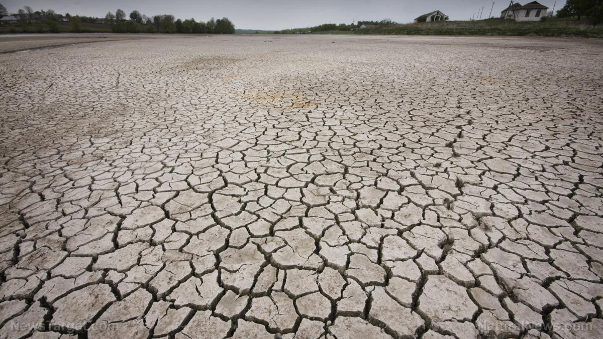
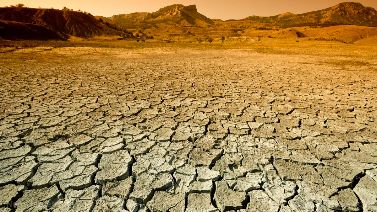
Groundwater extraction has caused immense damage to San Joaquin Valley, California, as image data from the National Aeronautics and Space Administration has shown. The region has suffered pronounce land subsidence over the years. The California Water Science Center defines land subsidence as the gradual settling of the earth’s surface. Simply put, San Joaquin Valley is sinking, and it has been for years. According to the CWCS, the primary causes of land subsidence include aquifer-system compaction, underground mining, oil and gas extraction and drainage and decomposition of organic soils.
Excessive pumping has been the primary culprit in this subsidence. According to data from NASA’s Jet Propulsion Laboratory, groundwater extraction that began in the 1920s has caused various parts of land in the region to subside or sink by as much as 8.5 meters. Long-term land subsidence has long been putting government properties — such as federal aqueducts, levees, bridges and roads — at risk of damage. The drought has also played a major part in the subsidence in the region.
The San Joaquin Valley’s subsidence has already caused damage to thousands of public and private groundwater wells. The current subsidence is also putting the public health at risk as it can permanently reduce the storage capacity of underground aquifers, therefore endangering future water supply, data showed. There is currently no available comprehensive data on the damage costs accounted for the subsidence, but the state and federal water agencies have already coughed up approximately $100 million in repairs since the 1960s.
Examining the extent of subsidence
California’s Department of Water resources has commissioned NASA’s Jet Propulsion Laboratory in Pasadena, Calif., to assess how additional groundwater pumping during the 2012 drought has gravely affected the already-sinking San Joaquin Valley. Researchers at the JPL have identified several trouble spots during its first report and noted that they have been continuously subsiding at rates as high as 2 feet per year.
Data also showed significant subsidence in two locations in the towns of Chowchilla and Corcoran. These subsidence bowls reach hundreds of square miles and have been constantly growing wider and deeper. JPL data also showed a maximum subsidence measuring nearly 2 feet in the Corcoran area, and about 16 inches near Chowchilla. Researchers noted a more serious subsidence near Tranquility in Fresno County in 2016, where the land sank up to 20 inches.
Less pronounced subsidence was also seen in the Sacramento Valley near Davis and Arbuckle. Sierra Valley, north of Lake Tahoe, has also exhibited a small amount of land subsidence at 6 inches. Researchers observed that subsidence slowed down in some areas of San Joaquin Valley during the winter of 2015 – 2016 when rainfall levels were on a par with the crop water needs. “While we can see the effect that rain has on subsidence, we know that we’ve run a groundwater deficit for some time, so it’ll take a long time to refill those reservoirs,” JPL report co-author Tom Farr argued.
California’s South Central coast including Ventura, Oxnard and Santa Barbra as well as north to San Joaquin Valley and Santa Clara Valley did not show major land subsidence. However, a known subsidence-prone area in the Cuyama Valley continued to show signs of persistent sinking. JPL report co-author Cathleen Jones said identifying areas suffering from subsidence may help water resource manager pinpoint the cause of the land sinkage. “If you see a subsidence bowl, then something is going on at the center of the bowl that is causing the land to sink — for example, high levels of groundwater pumping. We can locate problem spots so the state can focus on those areas, saving money and resources. We find the needle in the haystack, so to speak,” Jones stated.
Sources:
Submit a correction >>
Tagged Under:
Earth, environment, Environmental Catastrophe, environmental conservation
This article may contain statements that reflect the opinion of the author
RECENT NEWS & ARTICLES
COPYRIGHT © 2017 ENVIRON NEWS

