Survival navigation: Using trees, insects and birds to navigate
07/12/2022 / By Zoey Sky
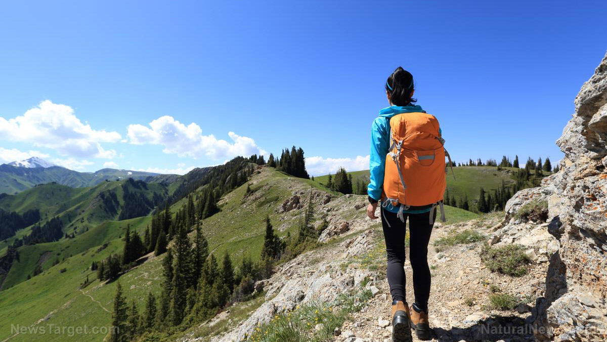
Traveling in the wilderness can be exhilarating, but knowing how to navigate is key to surviving in locations like forests or jungles.
If you want to make sure you can find your way in the wilderness when SHTF, learn how to navigate using trees, birds and insects. (h/t to SurvivalSullivan.com)
According to Harrison Cain, a professional soldier, military contractor infantry, a Survival Evasion Resistance and Escape (SEREs) instructor and professional hunter, you need to orientate yourself to your surroundings, get your bearings and stay on course if you ever get lost.
Navigation is a combination of various factors that can help you verify the information that will help you find your way back to civilization.
The sun rises in the east and sets in the west. Use this as a starting point to orient your direction.
Before you travel outdoors, make sure your gear includes these useful survival items:
- Compass and map
- Firestarter
- First aid kit
- Mirror
- Flares
- Survival knife
- Multi-tool
- Snakebite kit
- Water treatment/water filter
- Machete
Survival basics outline
Follow these basics so you can survive when SHTF and you get lost:
Plan
- Know the route you are taking
- Pack a basic “crash bag”
- Bring a map and compass
- Know basic medical training
- Learn about proper water purification
Orientate yourself
- Can you use your plan to identify where you are?
- Are you in the Northern or Southern Hemisphere?
- Do you have company?
- Do you still have survival items?
- What can you do?
- What natural resources do you have?
Your survival revolves around the big three: shelter, water and food. Your circumstance may force you to move to a different location and this requires navigation to find safety.
Try not to panic because losing your cool might kill you in a survival scenario.
What do you see in front of you? A mountain that can be seen from afar won’t alwleanays be visible in a dense forest so you need to go up to see over the canopy.
Use a simplified version of dead reckoning, a method used in the navy, to estimate your position and plot a course that might lead you to other people. If you’ve planned ahead, you may be able to recognize landscape features and take your best guess on a direction.
Use the trees, moss insects and animals to navigate. If you can, draw a map on a piece of paper or in the dirt with a stick.
This practical step in your navigation helps reinforce landmarks and gives you a sense of control. (Related: Disaster prepping 101: Learn land navigation skills to get out of SHTF situations.)
If you encounter an obstacle in your path, find a way past it or backtrack and start over. Add this piece of information to your map of the area which you are creating.
If you can’t see over the top, climb up a tree to see over the top. This will help you find a starting point or fixed point and a direction. Strike out and count every right or left step only. On average while on even terrain, 1,000 meters equates to approximately 600 to 700 steps.
Doing this will also help you estimate how far you have traveled and, if you have a watch or can measure time with the sun, you will have an estimated time to travel a kilometer.
Natural navigation and orientation
Remember that not all of these natural features will be available to you since the prevailing conditions will dictate the consistency of these natural indicators.
Trees
Plants seek the sun because it’s a crucial part of a plant’s survival mechanism called photosynthesis. Things are the same with jungle vegetation.
Streams and rivers may well be harder to find in this terrain so search for deep green growth that is concentrated in a gully or snaking off in a direction.
If you are in a well-wooded area and you don’t have the visual range to identify them, go up a tall tree or a hill.
Mountainous areas give little purchase for vegetation, especially in the higher ranges, but they give you height. Use this height to plot a route to a watercourse or a way off the mountain and back to civilization.
Deciduous trees or trees that lose their leaves in the autumn and are dormant in the winter, are better indicators of direction than evergreens like firs or pines because they give subtle clues.
Trees will show more prolific canopy growth and heavier bark on the sun-side of its canopy. These branches will grow up toward the sun.
Meanwhile, the side with the least exposure to the light will have branches that are more upright and longer as they reach for the sun.
In the Northern Hemisphere, that growth will be denser on the southern side. In the Southern Hemisphere, the growth will be denser on the northern side.
The same is true for the fruit of trees and bushes. The riper and more prolific fruit will be on the side facing the sun and follow the hemisphere’s rules.
Leaves and new shoots are greener and longer on the side facing the sun.
You need to practice so you can get used to reading these clues from trees. Practice in your own garden or greenspace.
Like branches, tree roots can also be an indicator of direction. If the prevailing wind direction is known, the branches will generally bend away from the wind.
The roots will anchor the tree against the prevailing wind so they will be thicker and more pronounced.
If there is a strong southerly wind, the branches of trees will bend in a northerly direction with pronounced root growth in a southerly direction to stop the tree from being uprooted.
Plants behave similarly to trees and may be more reliable depending on the terrain. Wind blows from every direction and if you don’t know what the prevailing wind is you cannot rely on this feature to aid you.
Plants
Like trees, flowers need the sun to grow but some have more mobility than others.
Generally, flowers will face due east in the morning and face due west, with north and south being the counterpoints, in the evening. Flowers will realign themselves during the night to catch the first sun, even if the sky is overcast.
Remember that plants or trees will grow in shady areas so this will influence their development and their ability to remain “true” to directional form.
Insects
Insects usually look for a sheltered place to build their home.
Ants will protect themselves from wind, rainfall, the sun or the cold. If it’s too hot, they will try to cool the nest and maintain the internal temperature.
In cooler environments, ants will want to harvest the sun for the same reasons.
Birds
Birds behave similarly to insects and they will build their nests on the shaded and protected side of trees.
Improve your wilderness and navigation skills by joining an orienteering or hiking group in your area. Practice your skills to prepare before SHTF.
If you get lost in the wilderness, use the tools at your disposal, verify your location with a compass and a map and navigate using trees, insects and birds.
Watch the video below to know how to convert an iPhone’s digital degrees format to the degree format used with topographical maps and compasses.
This video is from the Phys Vids channel on Brighteon.com.
More related stories:
Bug out survival planning: Prepping a bug-out bag in less than an hour.
Prepping basics: A 10-item checklist for beginner preppers.
Often crucial to survival, the skill of map reading is becoming a lost art.
Sources include:
Submit a correction >>
Tagged Under:
bug out, disaster, Ecology, environment, land navigation, off grid, preparedness, prepper, prepping, SHTF, sun navigation, survival, survival skills, Survival Tips
This article may contain statements that reflect the opinion of the author
RECENT NEWS & ARTICLES
COPYRIGHT © 2017 ENVIRON NEWS


